


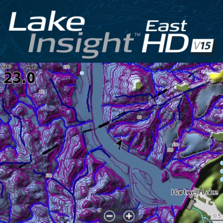
SIMRAD Lake Insight HD East v15
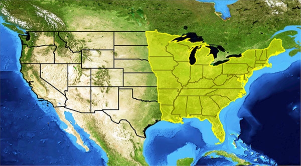
Advanced detail for Eastern U.S. inland lake maps for fishing and cruising, with high-definition shaded relief that provides an enhanced view of underwater structure.
|
|
Key Features
Ø NEW! Aerial imagery with the option to download even higher detailed imagery from Insight Genesis at no additional chargeØ NEW! Custom depth shading which allows a user to apply custom color palettes to depth ranges from the menu of their Lowrance fishfinder/chartplotter
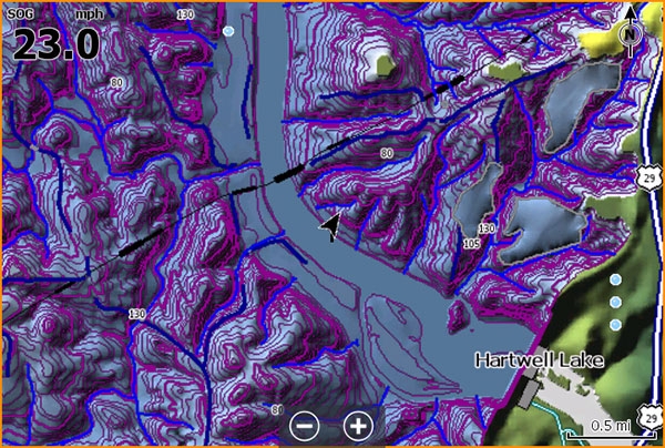
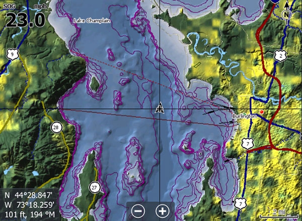
Ø 2,400 lakes with 1-3’ high-definition contours
Ø 4,800 lakes with 3-10’ standard definition contours
Ø 47,500 total named bodies of water with shoreline detail
Ø 20 more levels of high-definition, shaded-relief imagery beyond standard Insight USA charts - for an easier-to-understand view of the lake floor at all zoom levels.
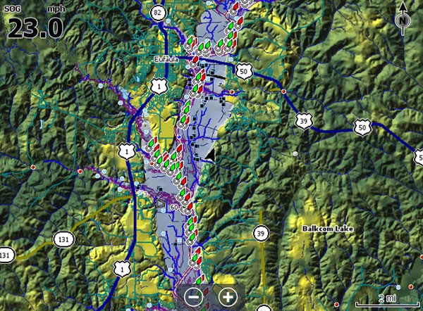
Ø Updated Fishing Hot Spots Points-of-Interest (POI)
Ø NEW! 1-meter aerial imagery for lakes included
Ø FREE! Insight Genesis Premium subscription with downloadable below 1-meter imagery and custom depth shaded maps ($99 value)
Ø Full compatibility with all Simrad NSS evo2 and NSO evo2 navigation/chartplotter products.
Ø Limited compatibility (NO Aerial imagery & Custom depth shading) with Simrad NSS and NSE navigation/chartplotter products.
