


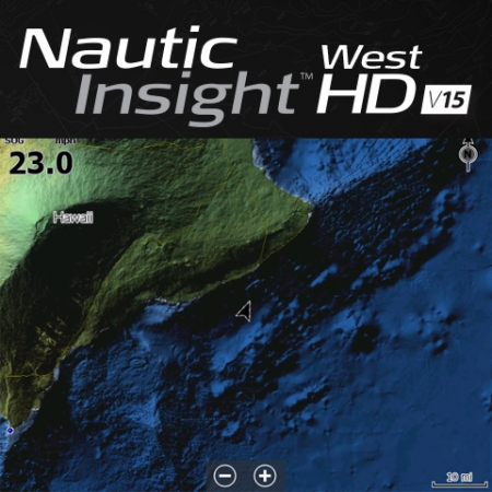
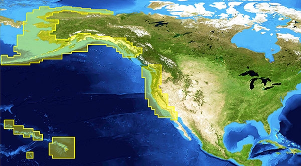
SIMRAD Nautic Insight HD West v15
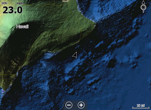
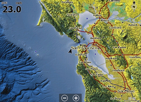
Advanced detail Western U.S. coastal and offshore sea maps for sailing, cruising and sailing with high-definition shaded relief that provides an enhanced view of underwater structure.
|
|

Key Features
Ø NEW! Aerial imagery with the option to download even higher detailed imagery from Insight Genesis at no additional chargeØ NEW! Updated NOAA ENCs and Marine Protected Areas
Ø NEW! Improved Bathymetric Contour Detail with greater coverage and more accurate detail to navigate more safely and identify key fishing areas
Ø NEW! Updated Maptech and Fishing Hot Spots Points-of-Interest with more than 200,000+ points-of-interest
Ø 20 more levels of high-definition, shaded-relief imagery beyond standard Insight USA charts - for an easier-to-understand view of the sea floor at all zoom levels.
Ø FREE! Insight Genesis Premium subscription with downloadable <1m imagery and custom depth shaded maps ($99 value)
Ø Compatible with all Simrad NSS, NSO, and NSE navigation/chartplotter products.
